ADVENTURE
Presented By Fjällräven
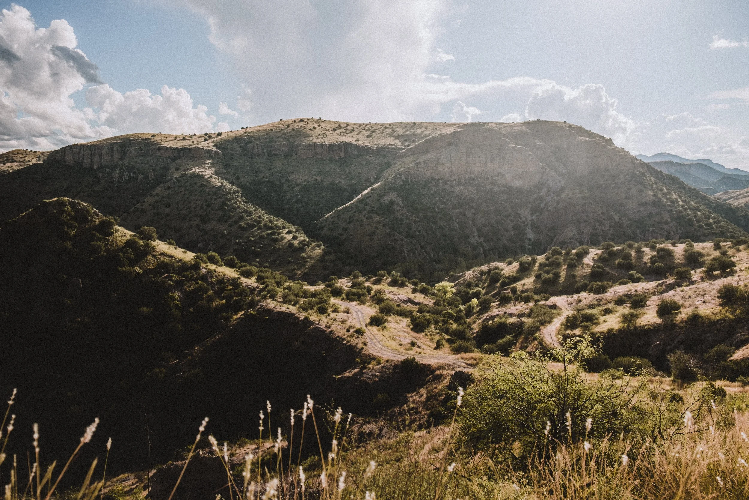
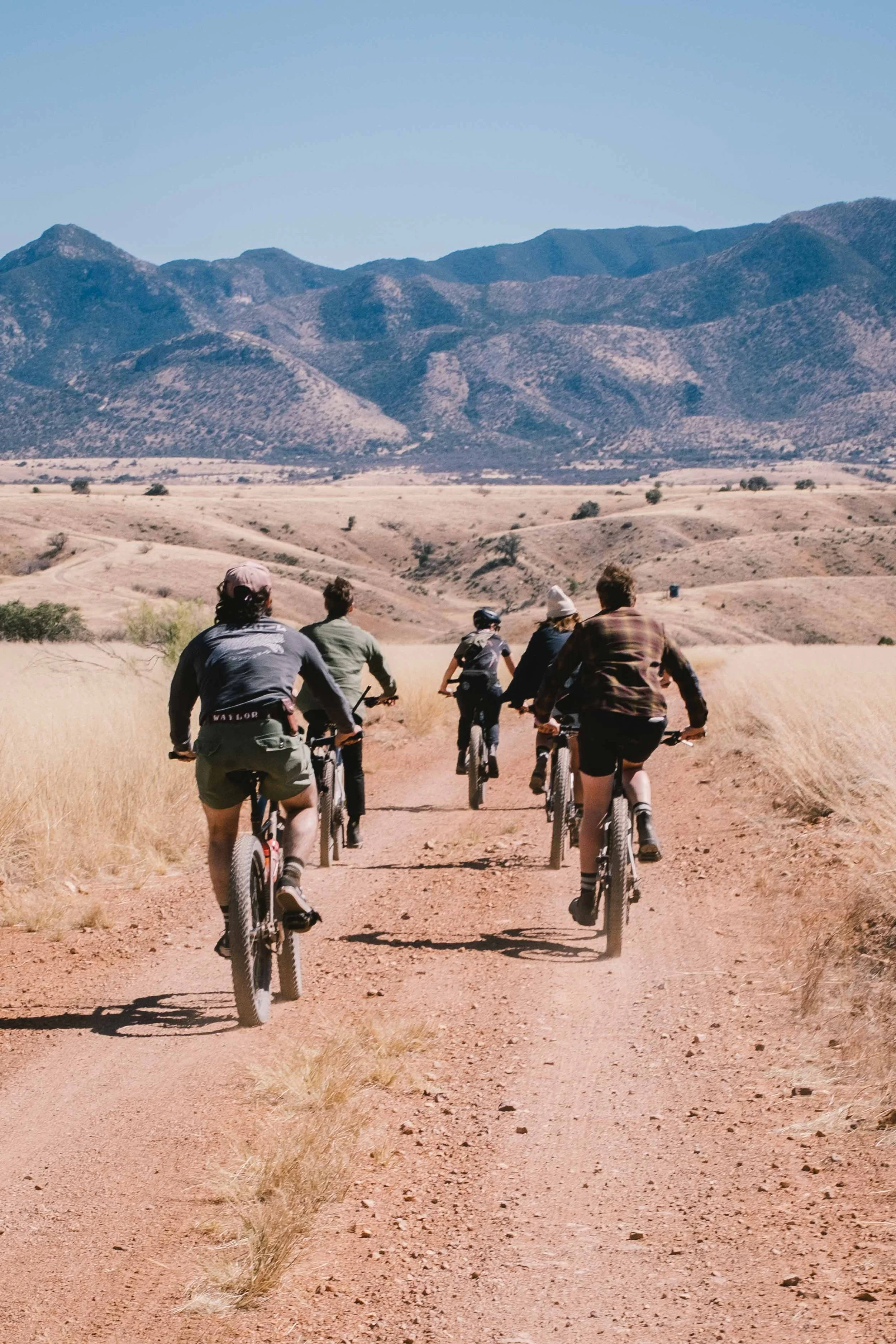
Participants will encounter a volcanic landscape of corrugated canyons, valleys, and ridgelines located on the western slopes of the continental divide, sprawling from the northern terminus of the Sierra Madre Occidental into the Sonoran and Chihuahuan deserts – one of the most biodiverse regions in the world.
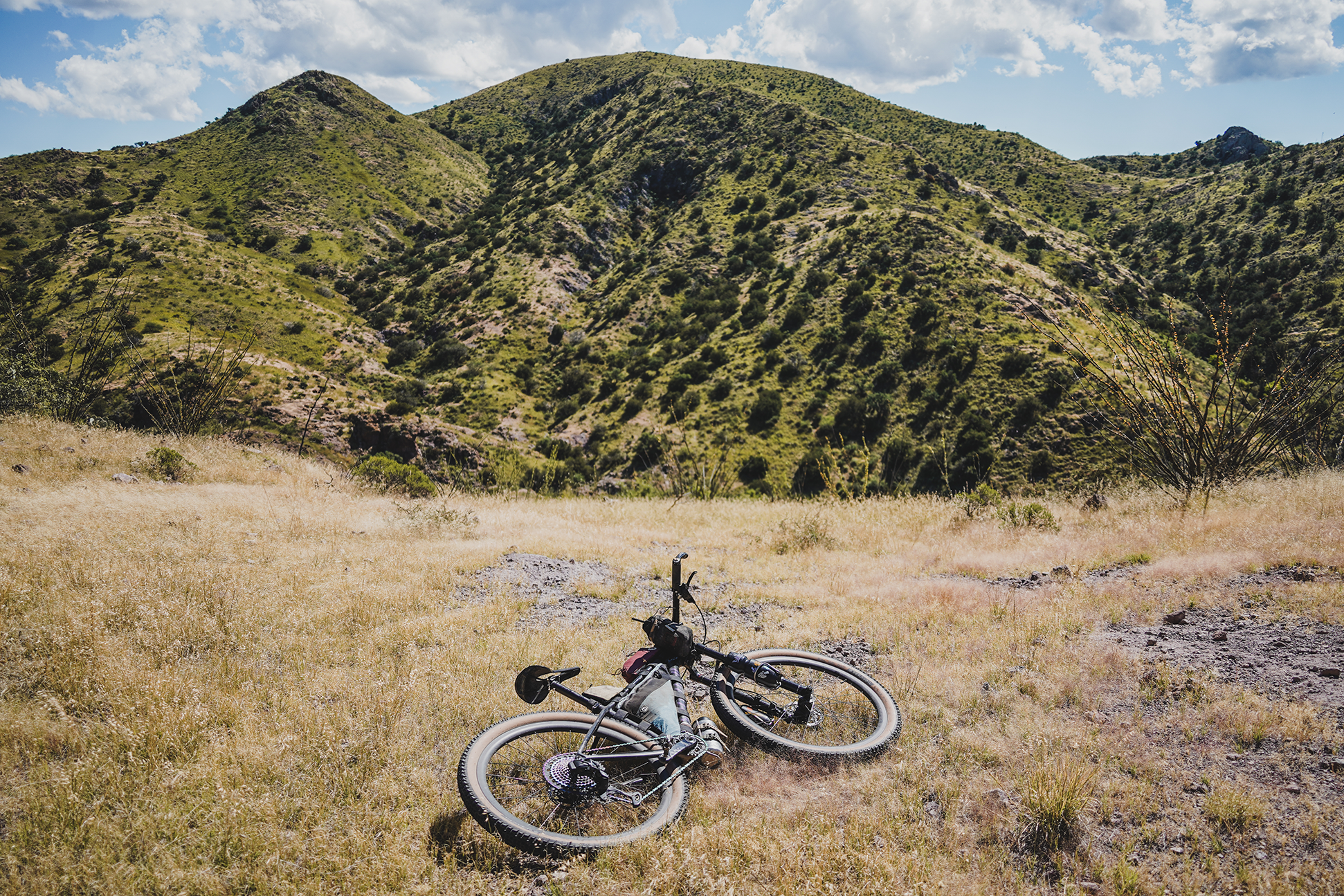
This stunning landscape is not to be underestimated; it’s steep, rugged, rocky, sandy, and remote, with many water crossings. The terrain will have riders dreaming of extra climbing gears, wider tires, and suspension. Distance means nothing out here. The challenge level is measured by the technical terrain and the number of feet gained per mile. This is not a gravel ride.
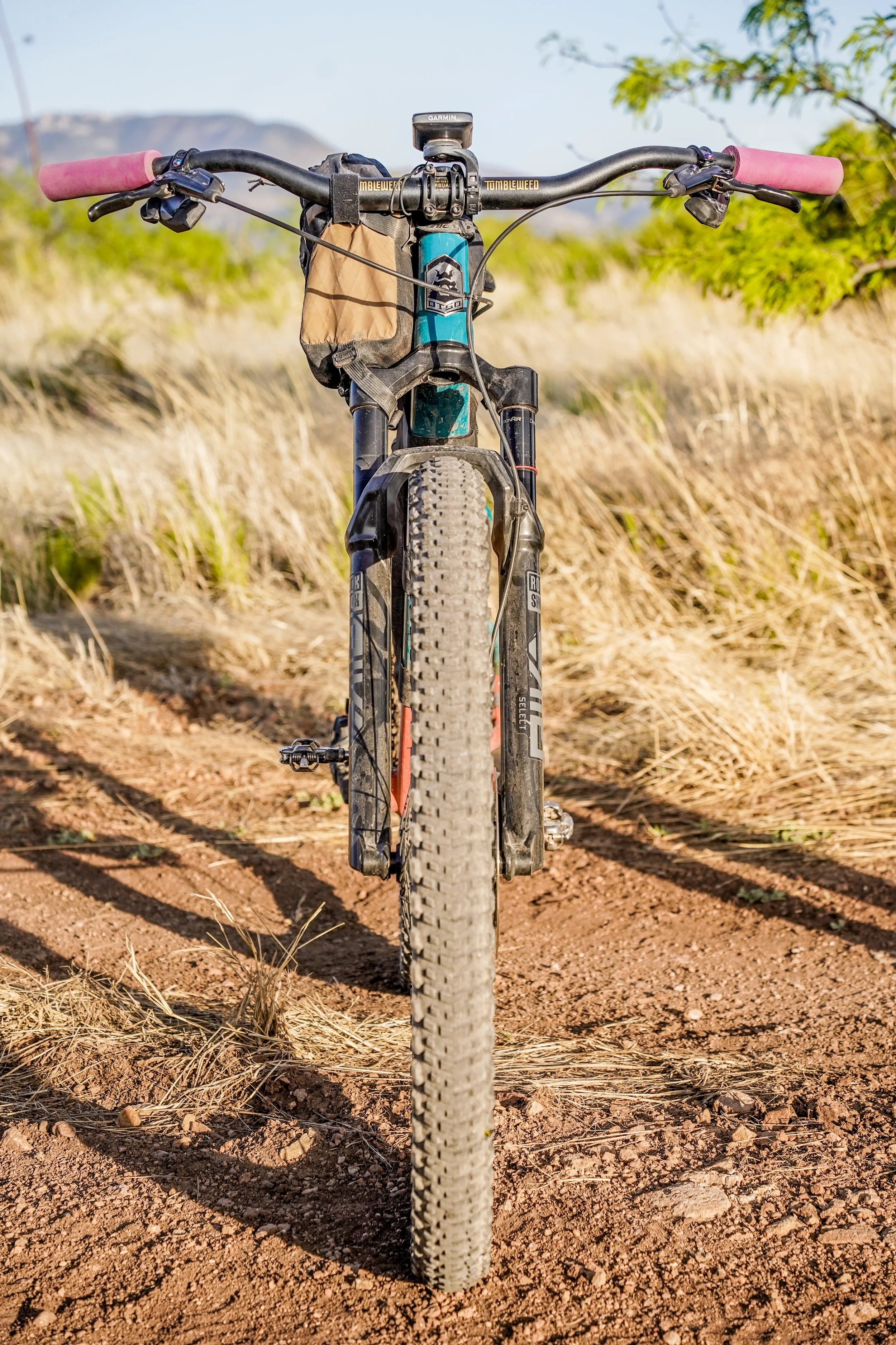
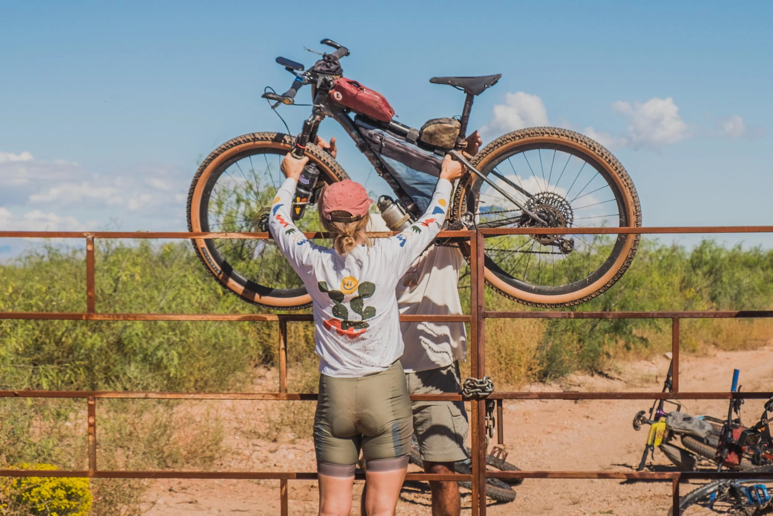
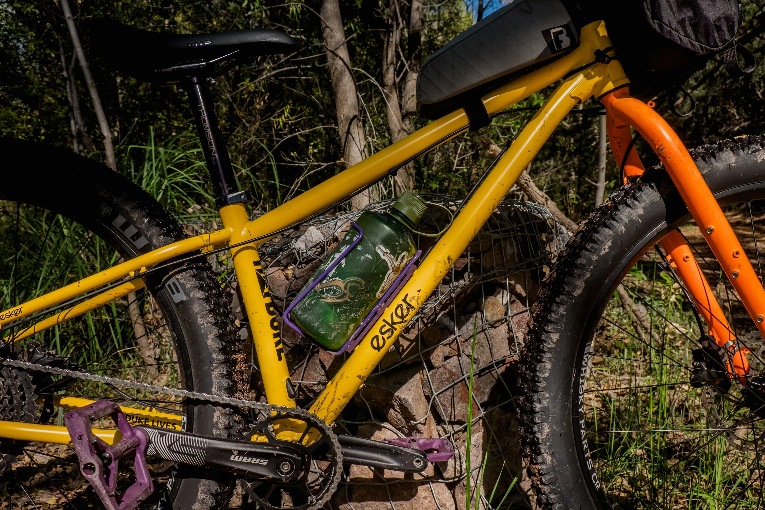
A mountain bike (rigid, hardtail, full suspension, plus or fat bike with a minimum of 2.3” tires) is best for this terrain. All routes are 100% double-track.
ADVENTURE ROUTEs OVERVIEW
Ruta del Jefe offers three available routes, each one with a different difficulty level based on distance and elevation gain. All the routes are on dirt roads, mostly hard-packed but with stretches of sand, loose large rocks, and steep climbs and descents; we consider a mountain bike to be the most appropriate for these rides. The routes are named after two resident jaguars of Cuenca Los Ojos (Valerio and El Bonito) and the infamous, El Jefe (the boss), the event's namesake.
Riding SCHEDULE TIP:
Although there are optional social rides on Thursday and Friday, they will happen at the same time as some workshops so folks might opt to stay at Rancho Nuevo. Saturday is the dedicated day for riding, with the first group starting at 8:30 am. Nothing else is scheduled to happen at Rancho Nuevo until the evening, with dinner programmed at 6 pm. We calculate this to be enough time to negotiate the long climbs while at the same time enjoying the ride: we highly recommend not rushing and taking your time out there, as this is truly a very unique place you’ll be riding through. It wouldn’t be a bad idea to bring a headlamp just in case; we hope you won’t need it, but we’ve been caught out there after sunset and we were glad we had them.
Saturday Adventure Rides
Each route will have one to three aid stations with water, snacks, and basic mechanical supplies.
Ruta VALERIO:
Distance: 11 miles (18 kilometers)
Elevation gain: 1,218 ft (371 meters)
Average completion time: 3 hours
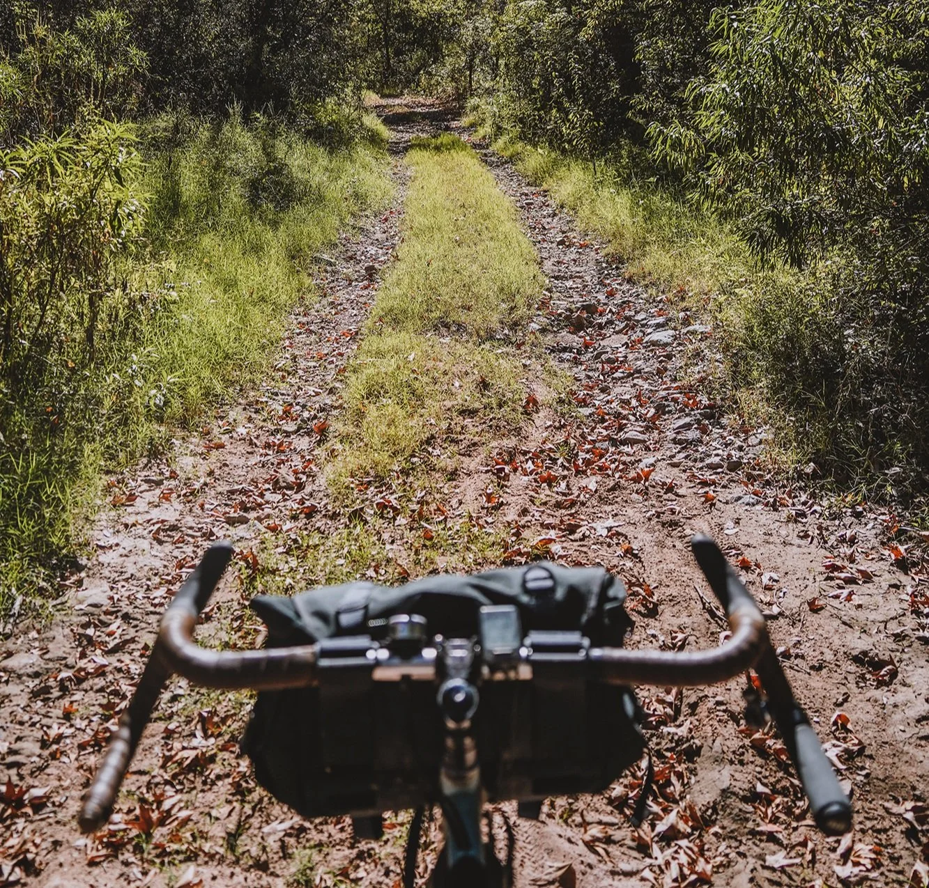
The “chill ride”. This route goes along a stream that’s born a little up the mountain. The route crosses this creek many times: we counted over twenty times within the first 5 km (3 miles). The road meanders among trees and beaver dams in an area locally known as Cajón Bonito. Despite being relatively short, Valerio includes one of the iconic CLO climbs because nobody leaves without a taste of them. The climb will bring you up to the ridgeline where, after some flowy terrain, you’ll find the Ombraz Aid Station. Here, you will be able to enjoy 360-degree views before making it back to Rancho Nuevo via a long, steep descent where you’ll have to maintain control of your speed so you don’t get too close to the ridge. Use extreme caution on this descent.
Ruta EL BONITO:
Distance: 27 miles (43 kilometers)
Elevation gain: 3,334 ft (1016 meters)
Average completion time: 6 hours
The “quintessential CLO ride”. This is the route that has it all. Ruta El Bonito uses the same start as Valerio, but instead of going back to Rancho Nuevo at the Ombraz Aid Station, you’ll keep riding on the ridgeline with 360-degree views, before making a long and exciting descent to Rancho Los Ojos, where Cuenca Los Ojos will be hosting another aid station. Soak your legs in the creek but, don’t cool down too much, because another series of steep climbs awaits. This series of climbs will take you just south of Highway 2 and to a short, but steep and slippery climb that so far nobody has been able to complete without walking. A few more climbs and you’ll emerge at Valle de las Ánimas, a grassland area that offers the little flat riding the route has and where the Campfire Cycling Aid Station will be. You will then start your return to Rancho Nuevo and face the mother of all descents in CLO. This descent takes place on an exposed hillside with many switchbacks. It is long, rocky, and has some incredible views. When you see Rancho Nuevo from afar, you will know you are almost back.
Ruta El Jefe:
Distance: 38 miles (62 kilometers)
Elevation gain: 4,217 ft (1285 meters)
Average completion time: 8 hours
The “maximum experience ride”. This route does everything El Bonito does but includes an extra 20 km (12 miles) for the folks who just want more (and we get that!). Once at the Valle de las Ánimas, instead of going back home you’ll head north and after a short stretch on a narrow track paralleling Highway 2, you will connect enter an area the cowboys call “La Cañada”, with consecutive climbs and descents forged by the course of water. The Borderlands Restoration Networks Aid Station will be along this road. For reference, the large mountain range you will see to the East from this road, is the start of Sierra Madre Occidental and the Continental Divide. Once you are through the steep undulations of La Cañada, you will connect back with Valle de las Ánimas to make the same descent as El Bonito route and make it back to Rancho Nuevo.
SOCIAL RIDES
SOCIAL RIDES
Two social rides are available on Thursday and Friday
ranging from 11-18 miles (18-31 kilometers)
1,218 - 1,530ft (371-398 meters) of elevation gain.
THURSDAY SOCIAL RIDE
The Thursday social ride follows the same route as Ruta Valerio and includes the first 8 miles of each of the three routes on Saturday. The total distance and elevation is 18 km (11 miles) long and 371 meters (1200 ft) of climbing. Get your feet wet (literally and figuratively) with this ride to see what’s in store for your ride at Ruta del Jefe. We will have one ride leader and two ride sweeps for this route and will regroup often.
FRIDAY SOCIAL RIDE
The Friday community ride is 27 km (17 miles) and 407 meters (1,337 ft) of climbing. The route starts by following Agua Blanca out of Rancho Nuevo to the east through cottonwood and sycamore trees. Keep your eyes on the sky to see dramatic rock formations emerging from the canyon. From Agua Blanca, you will make a gradual climb with a very short steep section at the end to Las Cañadas. If you are doing the El Jefe route, the road that the climb takes place on is the El Jefe bailout if you need to cut your ride short. Once you reach the Las Cañadas road you will be riding the El Jefe route backwards for 6 miles. As you travel north enjoy views of the Sierra Made Occidental to the east and the Animas Valley to the north and west. Follow the double track south of Highway 2 to reach the Las Animas where you will turn south and head back to Rancho Nuevo via the epic descent that both El Bonito and El Jefe routes finish on.
To protect the conservation work of Cuenca Los Ojos, routes will be provided to participants within one month of the event.
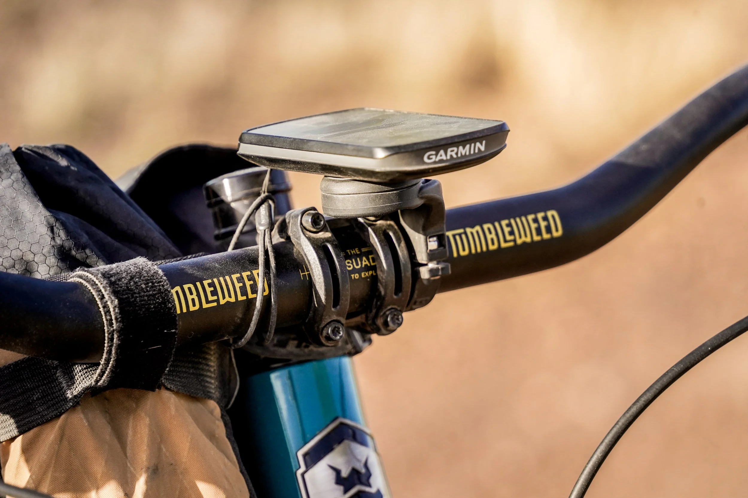
While there will be some course markings, each rider should come prepared with the route uploaded to a navigation device or downloaded on your phone to support your navigation between course markings. You will also need to carry food, water, layers, and any parts and tools to support any mechanicals you may have between aid stations.
There will be no cell signal on course. Aid stations will be equipped with radios for communication in the case of an emergency. For extra safety, satellite communication devices, such as the Garmin inReach or SPOT tracker, are recommended but are not required.
